The SW1 Postcode
[SW] South West London (Greater London/England/GB/UK/BI)
SW Postcodes
SW1P SW1V SW1W SW1E SW1X SW1H SW1A SW1Y SW2 SW3 SW4 SW5 SW6 SW7 SW8 SW9 SW10 SW11 SW12 SW13 SW14 SW15 SW16 SW17 SW18 SW19 SW20 SW95 SW99
View by Postcode Area
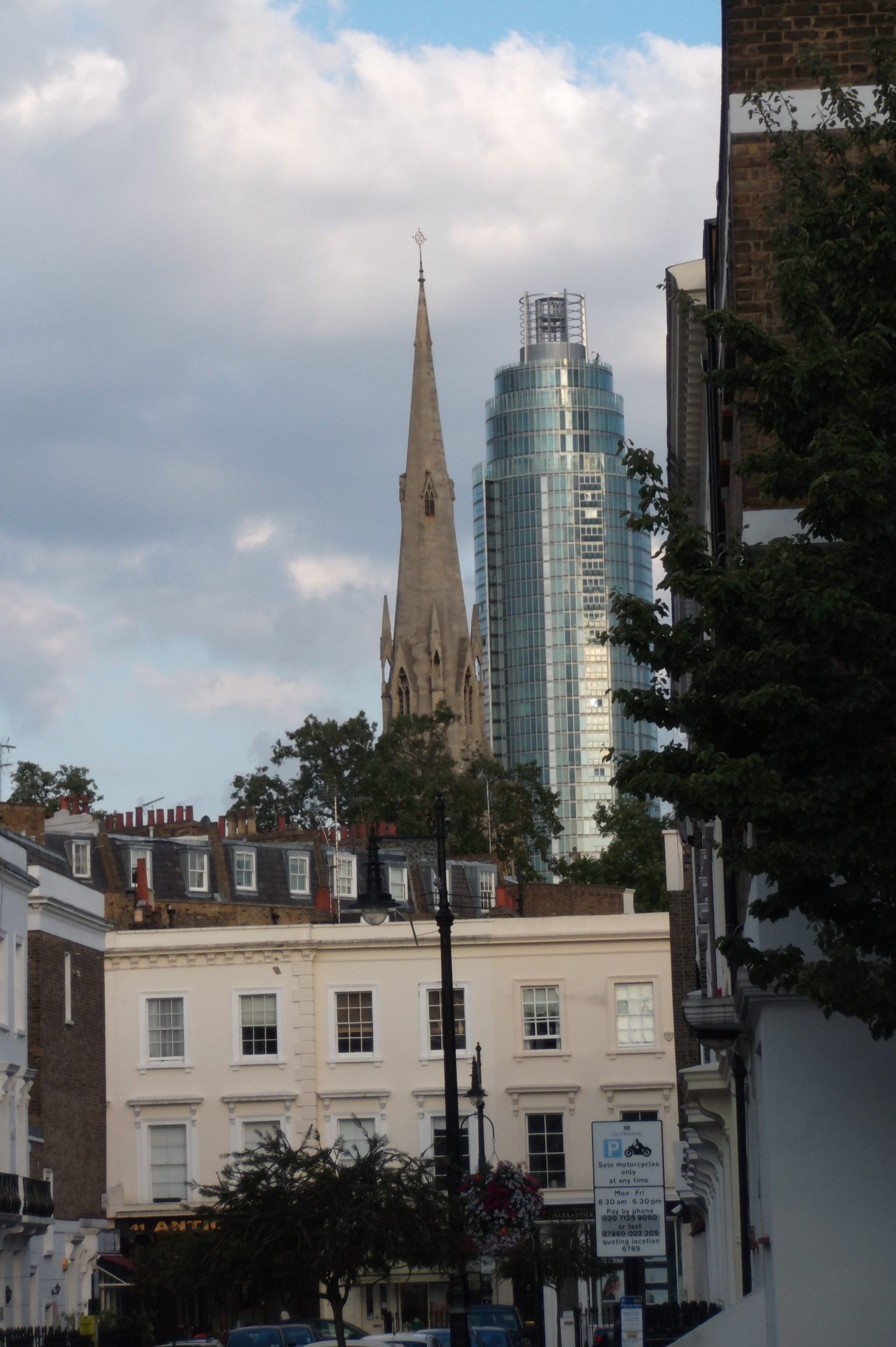
These are the postcodes of the SW area, London (South West). The area comprises: City of Westminster, Croydon, Hammersmith and Fulham, Hounslow, Kensington and Chelsea, Kingston upon Thames, Lambeth, Merton, Richmond upon Thames, Wandsworth. This area features some 382,790 households accommodating a population of about 877,183 (2011 census)

The SW (South Western and Battersea) postcode area, also known as the London SW postcode area, is a group of postcode districts covering part of southwest London, England.
SW1 was originally the South Western head district. As it is now of very high density development it has been divided into smaller postcode districts. Where districts are used for purposes other than the sorting of mail, such as use as a geographic reference and on street signs, the SW1 subdivisions continue to be classed as one ‘district’.
List of SW1 Postcode Zones
The approximate coverage of the postcode zones:
- SW1A: Whitehall and Buckingham Palace
- SW1E: Between Buckingham Gate and Victoria Station
- SW1H: East of Buckingham Gate
- SW1P: Triangular area between Victoria Station, the Houses of Parliament and Vauxhall Bridge; eastern part of Pimlico
- SW1V: Triangular area between Vauxhall Bridge, Chelsea Bridge and Victoria Station; Pimlico proper
- SW1W: Belgravia, area between Sloane Square and Victoria Station, south of Kings Road
- SW1X: Belgravia, north of Eaton Square, parts of Knightsbridge
- SW1Y: St James’s